Foel Gron photos
Foel Gron Summit
and licensed for reuse under this Creative Commons Licence
Hover over the map markers to see associated photo. Note, some markers show photographer's position whilst others show photo subject location.
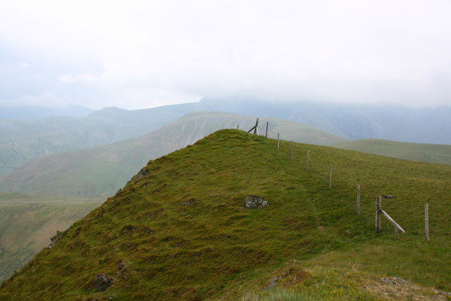
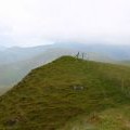
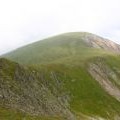
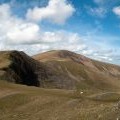
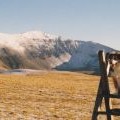
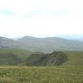
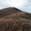
['Foel Gron Summit',53.0895,-4.15103,'/public/geophotos/837439.jpg'],['Moel Eilio from Foel Gron',53.0895,-4.15103,'/public/geophotos/837444.jpg'],['Foel Gron',53.089,-4.15093,'/public/geophotos/2591674.jpg'],['Fence and stile on Foel Gron',53.0887,-4.15226,'/public/geophotos/1730668.jpg'],['The Cwm Dwythwch Scarp',53.088,-4.15162,'/public/geophotos/228622.jpg'],['Fence line descending north-west towards Bwlch Gwyn',53.0904,-4.15309,'/public/geophotos/2588272.jpg']