Glyder Fawr photos
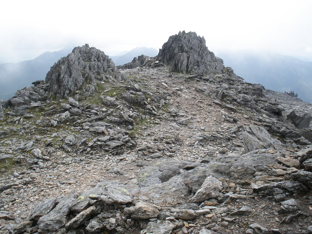
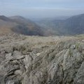
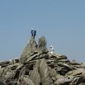
Rocky pinnacles, on the summit ridge of Glyder Fawr
and licensed for reuse under this Creative Commons Licence
Hover over the map markers to see associated photo. Note, some markers show photographer's position whilst others show photo subject location.
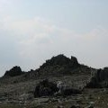
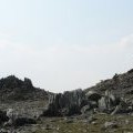
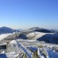
['Rocky pinnacles, on the summit ridge of Glyder Fawr',53.101,-4.03008,'/public/geophotos/1411466.jpg'],['The summit, of Glyder Fawr',53.1014,-4.0292,'/public/geophotos/1411448.jpg'],['Glyder Fawr from the ridge to Glyder Fach',53.1013,-4.0292,'/public/geophotos/1265138.jpg'],['Y Garn and the Nant Ffrancon Valley',53.1015,-4.02995,'/public/geophotos/2101043.jpg'],['A Silhouette of the Summit Tors of Glyder Fawr',53.1019,-4.02982,'/public/geophotos/244865.jpg'],['The Glyder Fawr Tors.',53.1019,-4.02982,'/public/geophotos/244870.jpg'],['Glyder Fawr from Glyder Fach',53.101,-4.02978,'/public/geophotos/122074.jpg'],['Is this the highest point of Glyder Fawr?',53.101,-4.02978,'/public/geophotos/244859.jpg'],['Frost Shattered Rocks on the Summit of Glyder Fawr',53.101,-4.02829,'/public/geophotos/246416.jpg'],['Helicopter, Glyder Fawr',53.1007,-4.02827,'/public/geophotos/1962318.jpg']