Moel y Parc
Moel y Parc is the 8736th highest peak in the British Isles and the 1049th tallest in Wales
Elevation
397.7 m (1305 ft)
Prominence
90.9 m (298 ft)
Survey method
Leica NA730 (summit), Trimble GeoXH 6000 (summit and col)
Features
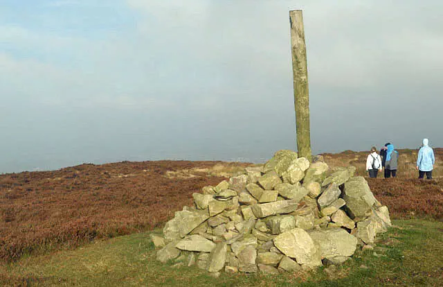
Ground 2m S of trig point
Category
- Tump (300-399m)
- Subhump
Hill / mountain range
Nearest town
OS map sheets
OS50: 116 (Denbigh & Colwyn Bay)OS25: 265 (Clwydian Range / Bryniau)
Notes & comments
Cairn 160m NW at SJ 11793 70080 is 1.45m lower
Height also measured to Order 2 Flush Bracket (398.02m) on trig point agrees with surveyed height