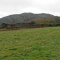
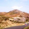
Mynydd Bodafon photos
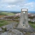
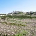
The trig point on Yr Arwydd looking north-eastwards
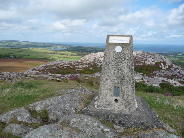
and licensed for reuse under this Creative Commons Licence
Hover over the map markers to see associated photo. Note, some markers show photographer's position whilst others show photo subject location.
['The trig point on Yr Arwydd looking north-eastwards',53.3435,-4.29622,'/public/geophotos/2585877.jpg'],['Mynydd Bodafon',53.3433,-4.29591,'/public/geophotos/1031324.jpg'],['Trig point and summit of Yr Arwydd',53.3434,-4.29622,'/public/geophotos/2585863.jpg'],['The western slope of Yr Arwydd from Y Bwlch',53.343,-4.2965,'/public/geophotos/421026.jpg'],['Mynydd Bodafon, Penrhos Lligwy',53.3424,-4.29812,'/public/geophotos/83360.jpg']