Mynydd Carningli photos
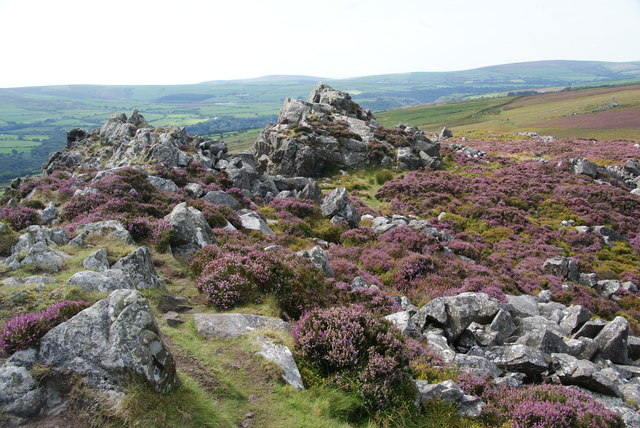
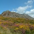
The top of Carn Ingli
and licensed for reuse under this Creative Commons Licence
Hover over the map markers to see associated photo. Note, some markers show photographer's position whilst others show photo subject location.
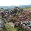
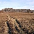
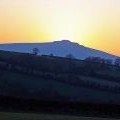
['The top of Carn Ingli',51.9996,-4.82413,'/public/geophotos/2577903.jpg'],['Carningli fort from Carningli common looking east',51.9993,-4.82441,'/public/geophotos/331090.jpg'],['Carningli from Eglwyswrw: Sunset',51.9992,-4.8244,'/public/geophotos/1754040.jpg'],['Carningli',51.9995,-4.82326,'/public/geophotos/394188.jpg'],['Carningli scree slope',51.9995,-4.82326,'/public/geophotos/394198.jpg'],['Approaching Carn Ingli from the west',51.9998,-4.82531,'/public/geophotos/2577708.jpg'],['Carningli',51.9999,-4.82241,'/public/geophotos/394178.jpg'],['Traces of the past below Carningli',51.9977,-4.82474,'/public/geophotos/333997.jpg']