Mynydd Ton
Mynydd Ton is the 4970th highest peak in the British Isles and the 390th tallest in Wales
Elevation
539.0 m (1768 ft)
Prominence
92.0 m (302 ft)
Features
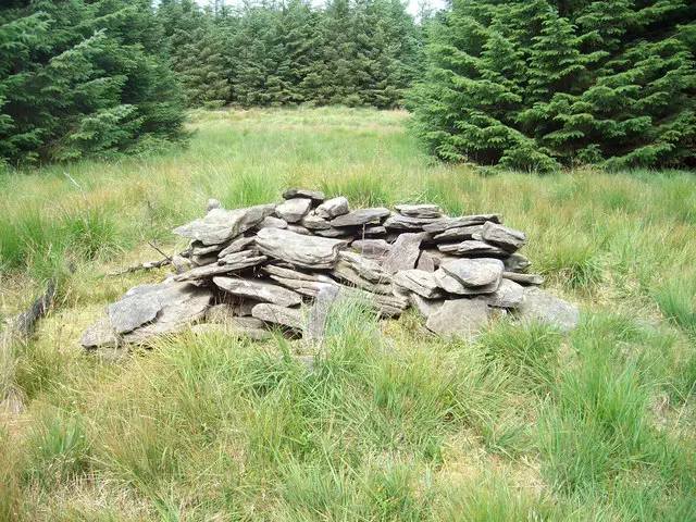
Small hollowed cairn in clearing
Category
- Dewey
- Subhump
Nearest town
Treorchy/Treorci, Rhondda,Cynon,Taff
OS map sheets
OS25: 166W (Rhondda & Merthyr Tydfil / Merthyr Tudfi)OS50: 170 (Vale of Glamorgan, Rhondda & Porthcawl)
Notes & comments
This is cairn shown as 1769ft on old maps and is 175m SW of trig point (SS 94934 94064)
New height is derived from surveyed height on old 1:10,560 maps published from 1884 to 1945 and is in trees about 180m SW of trig point (SS 94934 94064)