Gummer's How
Gummer's How is the 10793rd highest peak in the British Isles and the 1546th tallest in England
Elevation
321.0 m (1053 ft)
Prominence
217.0 m (712 ft)
Survey method
Abney level
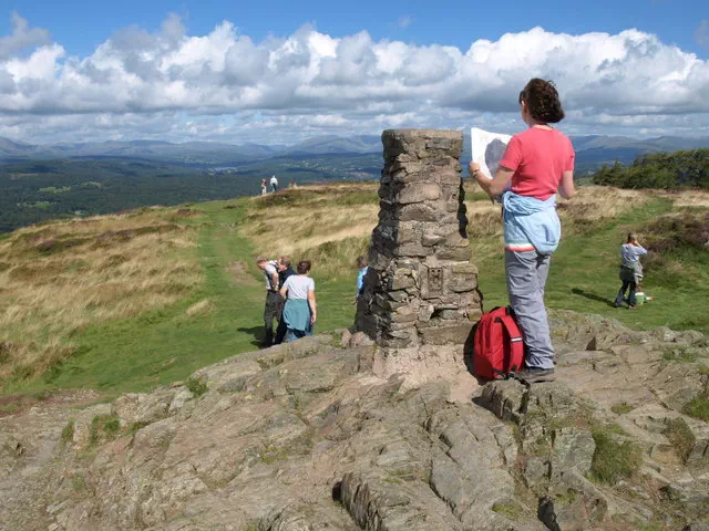
Features
Trig point
Category
- Marilyn
- Tump (300-399m)
- Wainwright Outlying Fell
- Birkett
- Synge
Hill / mountain range
Nearest town
Bowness-On-Windermere, Cumbria
OS map sheets
OS25: 007S (The English Lakes)OS50: 096 (Barrow-in-Furness & South Lakeland)
OS50: 097 (Kendal & Morecambe, Windermere & Lancaster)