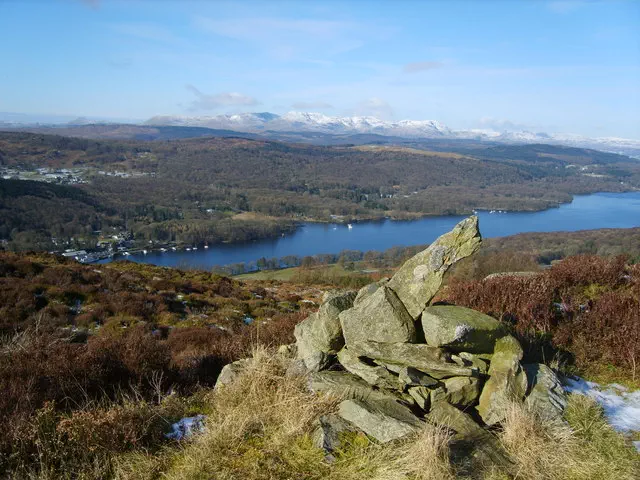
Staveley Fell
Staveley Fell is the 12555th highest peak in the British Isles and the 1960th tallest in England
Elevation
265.0 m (869 ft)
Prominence
42.0 m (138 ft)
Survey method
Abney level
Features
Cairn
Category
- Tump (200-299m)
- Wainwright Outlying Fell
Hill / mountain range
Nearest town
Bowness-On-Windermere, Cumbria
OS map sheets
OS25: 007S (The English Lakes)OS50: 096 (Barrow-in-Furness & South Lakeland)
OS50: 097 (Kendal & Morecambe, Windermere & Lancaster)
Notes & comments
Ground 4m N of cairn is 10cm higher and highest point; ground 150m WSW is c 7m lower and ground 100m S is c 3m lower