Lewesdon Hill
Lewesdon Hill is the 12091st highest peak in the British Isles and the 1846th tallest in England
Elevation
279.0 m (915 ft)
Prominence
185.0 m (607 ft)
Survey method
Abney level
Features
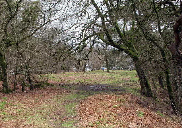
Grassy mound at east end of ridge
Category
- Marilyn
- Tump (200-299m)
- Historic County Top
- Current County/UA Top
- Administrative County Top
Nearest town
OS map sheets
OS25: 116 (Lyme Regis & Bridport)OS50: 193 (Taunton & Lyme Regis, Chard & Bridport)
Notes & comments
Marginally higher than mound under tree 60m NNW at ST 43760 01232
Replaces hill 2898 Pilsdon Pen as Dorset County top