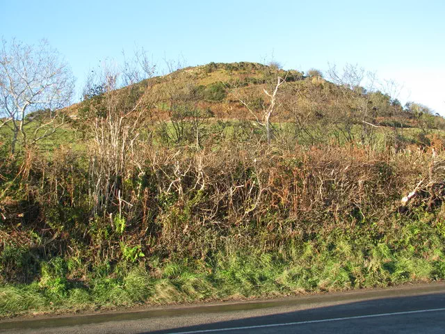
Pilsdon Pen
Pilsdon Pen is the 12159th highest peak in the British Isles and the 1866th tallest in England
Elevation
277.0 m (909 ft)
Prominence
83.0 m (272 ft)
Survey method
Abney level
Features
No feature 8m SE of trig point
Category
- Tump (200-299m)
Nearest town
OS map sheets
OS25: 116 (Lyme Regis & Bridport)OS50: 193 (Taunton & Lyme Regis, Chard & Bridport)
Notes & comments
Base of trig point at ST 41358 01149 is 40cm lower; earthwork 390m NW of trig point at ST 41358 01149 is slightly lower
Marilyn and Dorset County Top replaced by 2896 Lewesdon Hill in 1995