Totridge
Totridge is the 6173rd highest peak in the British Isles and the 702nd tallest in England
Elevation
496.0 m (1627 ft)
Prominence
52.0 m (171 ft)
Survey method
Abney level
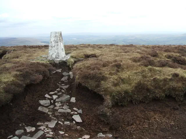
Features
Peat hag 20m W of trig point
Category
- Tump (400-499m)
Hill / mountain range
Nearest town
OS map sheets
OS25: 041W (Forest of Bowland & Ribblesdale)OS50: 102 (Preston & Blackpool, Lytham St Anne)
OS50: 103 (Blackburn & Burnley, Clitheroe & Skipton)
Notes & comments
Ground is at least 15cm higher than trig point flush bracket