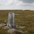
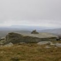
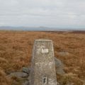
Ward's Stone photos
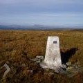
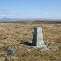
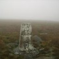
Ward's Stone east top

and licensed for reuse under this Creative Commons Licence
Hover over the map markers to see associated photo. Note, some markers show photographer's position whilst others show photo subject location.
['Ward\'s Stone east top',54.0227,-2.62424,'/public/geophotos/49520.jpg'],['Ward\'s Stone Plateau',54.0229,-2.62364,'/public/geophotos/506572.jpg'],['Grey Mare and Foal',54.0238,-2.62441,'/public/geophotos/1091751.jpg'],['Eastern Trig Pillar - Ward\'s Stone Top',54.0229,-2.62348,'/public/geophotos/2223054.jpg'],['Trig point, Mallowdale Fell',54.0228,-2.62348,'/public/geophotos/1819737.jpg'],['Ward\'s Stone east trig point',54.0229,-2.62333,'/public/geophotos/1726887.jpg'],['Gritstone outcrops, Ward\'s Stone east summit',54.0229,-2.62333,'/public/geophotos/2140586.jpg'],['Trig Pillar, Ward\'s Stone',54.0228,-2.62333,'/public/geophotos/2191052.jpg'],['Trig Pillar Wards Stone',54.0218,-2.62423,'/public/geophotos/272782.jpg'],['Carved Stone, Wards Stone',54.0228,-2.62608,'/public/geophotos/770772.jpg']