Ward's Stone
Ward's Stone is the 4450th highest peak in the British Isles and the 452nd tallest in England
Elevation
563.0 m (1847 ft)
Prominence
395.0 m (1296 ft)
Survey method
Leica Runner 20
Features
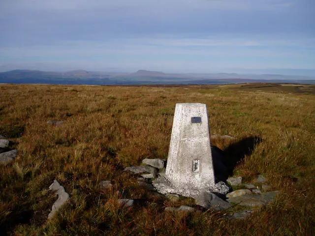
Small cairn on peat hag
Category
- Marilyn
- Dewey
Hill / mountain range
Nearest town
OS map sheets
OS25: 041W (Forest of Bowland & Ribblesdale)OS50: 102 (Preston & Blackpool, Lytham St Anne)
Notes & comments
Measured to be 563.0m; cairn is 60m W of easterly trig point