Angletarn Pikes South Top photos
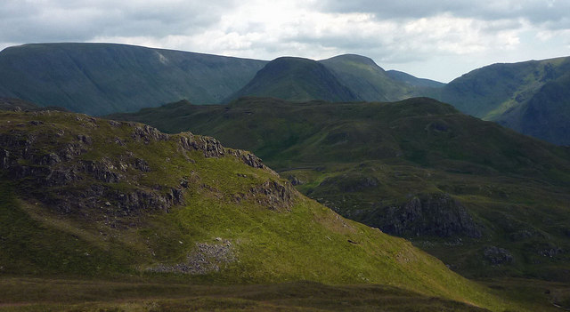
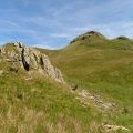
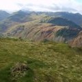
The southern Angletarn Pike
and licensed for reuse under this Creative Commons Licence


Hover over the map markers to see associated photo. Note, some markers show photographer's position whilst others show photo subject location.
['The southern Angletarn Pike',54.524,-2.90673,'/public/geophotos/2490383.jpg'],['On Angletarn Pikes',54.5238,-2.90626,'/public/geophotos/1716415.jpg'],['Summit Cairn, Angletarn Pikes',54.5237,-2.9058,'/public/geophotos/644014.jpg'],['Angletarn Pikes',54.5233,-2.90687,'/public/geophotos/206457.jpg'],['Angletarn Pike',54.5253,-2.90738,'/public/geophotos/983697.jpg'],['A rock step',54.5236,-2.90811,'/public/geophotos/983685.jpg'],['Angletarn Pikes (567m)',54.5252,-2.90784,'/public/geophotos/1951292.jpg'],['Angletarn Pikes',54.5253,-2.90784,'/public/geophotos/522454.jpg'],['Cairn, Angletarn Pikes',54.5251,-2.90815,'/public/geophotos/1026211.jpg'],['On Angletarn Pikes',54.5252,-2.9083,'/public/geophotos/2941288.jpg']