Branstree photos
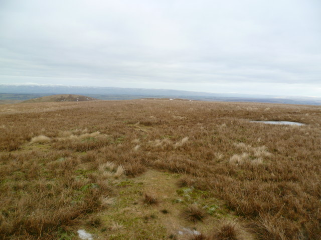
Branstree Summit
and licensed for reuse under this Creative Commons Licence


Hover over the map markers to see associated photo. Note, some markers show photographer's position whilst others show photo subject location.
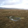
['Branstree Summit',54.4827,-2.80781,'/public/geophotos/2219260.jpg'],['On Branstree',54.4816,-2.80686,'/public/geophotos/2219259.jpg'],['Cairn and Trig Ring Branstree',54.4832,-2.80751,'/public/geophotos/677420.jpg'],['Stile, Branstree',54.4812,-2.80716,'/public/geophotos/677414.jpg'],['Cairn near the summit of Branstree',54.4829,-2.80812,'/public/geophotos/1082562.jpg'],['Branstree summit.',54.4813,-2.80624,'/public/geophotos/1747363.jpg'],['Cairns, Artlecrag Pike',54.4842,-2.80568,'/public/geophotos/802055.jpg']