Deweys in the Northumberland region
Map of Deweys in the Northumberland region. Click on pins to view mountain details.
The mountain guide has mountains listed.....
| Image | Name | Height (metres) | Height (feet) |
|---|---|---|---|
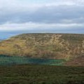 |
Peel Fell | 603 | 1977 |
 |
The Schil | 601 | 1972 |
 |
Carter Fell | 579 | 1900 |
 |
Deadwater Fell | 569 | 1868 |
 |
Dunmoor Hill | 569 | 1867 |
 |
Wether Cairn | 563 | 1847 |
 |
Thirl Moor | 558 | 1831 |
 |
Black Hag | 549 | 1801 |
 |
Hard Rigg | 546 | 1791 |
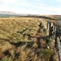 |
Yarnspath Law | 543 | 1781 |
 |
Newton Tors | 537 | 1762 |
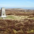 |
Brownley Hill | 533 | 1749 |
 |
Shill Moor | 529 | 1735 |
 |
Ravens Knowe | 527 | 1729 |
 |
Pike Rigg | 526 | 1726 |
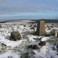 |
Sighty Crag | 520 | 1706 |
 |
Broadhope Hill | 517 | 1696 |
 |
Glendhu Hill | 514 | 1686 |
 |
Monkside | 513 | 1683 |
 |
Lint Lands | 510 | 1673 |
 |
Brownhart Law | 508 | 1667 |
 |
Hungry Law | 501 | 1644 |
 |
Shillhope Law | 501 | 1644 |