Helvellyn photos
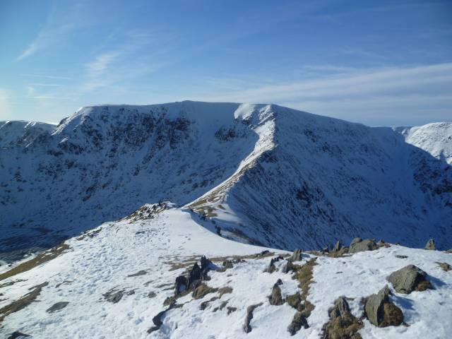
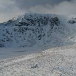
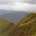
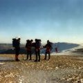
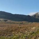
Helvellyn from Catstye Cam
and licensed for reuse under this Creative Commons Licence
Hover over the map markers to see associated photo. Note, some markers show photographer's position whilst others show photo subject location.
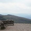
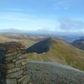
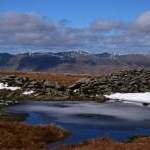
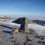
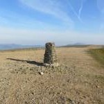
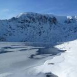
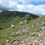
['Helvellyn from Catstye Cam',54.5276,-3.0193,'/public/geophotos/2796390.jpg'],['Helvellyn Trig Point',54.5271,-3.01774,'/public/geophotos/2751238.jpg'],['Helvellyn',54.5276,-3.01791,'/public/geophotos/3012990.jpg'],['Helvellyn\'s Eastern Face',54.5278,-3.01699,'/public/geophotos/1544907.jpg'],['Swirral Edge',54.5301,-3.01581,'/public/geophotos/2920841.jpg'],['Red Tarn from summit of Helvellyn',54.5274,-3.01064,'/public/geophotos/3284020.jpg'],['Red Tarn or maybe white?',54.5283,-3.01036,'/public/geophotos/1691610.jpg'],['Shelter at Helvellyn\'s summit',54.5269,-3.01714,'/public/geophotos/2617001.jpg'],['Helvellyn summit',54.5271,-3.0179,'/public/geophotos/2324526.jpg'],['Shelter from the wind on top of Helvellyn',54.5268,-3.01789,'/public/geophotos/2768523.jpg'],['View from Helvellyn',54.5272,-3.01713,'/public/geophotos/1006974.jpg'],['Helvellyn summit, looking Southwest',54.5269,-3.01805,'/public/geophotos/1908110.jpg'],['The shelter on Helvellyn',54.5266,-3.01696,'/public/geophotos/2324499.jpg'],['On Helvellyn',54.5272,-3.01837,'/public/geophotos/2135170.jpg'],['Looking Southeast to the Trig Point, Helvellyn',54.5271,-3.01867,'/public/geophotos/1283784.jpg'],['Helvellyn range from High Street',54.5273,-3.01883,'/public/geophotos/4902095.jpg'],['On Helvellyn',54.5273,-3.01883,'/public/geophotos/4346978.jpg'],['Trig point & summit ridge, Helvellyn',54.5273,-3.01883,'/public/geophotos/3284024.jpg'],['Striding Edge and Helvellyn',54.5261,-3.0137,'/public/geophotos/2322543.jpg'],['By Red Tarn',54.5291,-3.00852,'/public/geophotos/2809732.jpg'],['Sheep on Catstycam',54.533,-3.00831,'/public/geophotos/3012995.jpg']
