High Neb photos
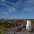
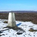
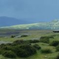
The walk along the top of Stanage Edge with the trig point of High Neb in the foreground

and licensed for reuse under this Creative Commons Licence

Hover over the map markers to see associated photo. Note, some markers show photographer's position whilst others show photo subject location.
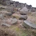
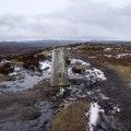
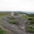
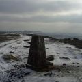
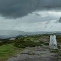
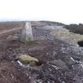
['The walk along the top of Stanage Edge with the trig point of High Neb in the foreground',53.3646,-1.65914,'/public/geophotos/1317955.jpg'],['Abandoned millstones below High Neb',53.3646,-1.65914,'/public/geophotos/2852548.jpg'],['High Neb Trig Point',53.3644,-1.65914,'/public/geophotos/470147.jpg'],['Trig point on High Neb',53.3644,-1.65899,'/public/geophotos/1731296.jpg'],['Stanage Edge - High Neb Trig Point',53.3644,-1.65884,'/public/geophotos/1379279.jpg'],['High Neb Trig Point, Stanage Edge',53.3644,-1.65869,'/public/geophotos/1081362.jpg'],['High Neb',53.3644,-1.65869,'/public/geophotos/1678945.jpg'],['High Neb trig point',53.3644,-1.65869,'/public/geophotos/3018889.jpg'],['High Neb trig point S2157',53.3644,-1.65839,'/public/geophotos/1108042.jpg'],['View west from Stanage Edge',53.3641,-1.65854,'/public/geophotos/3018924.jpg']