Marilyns in the Central Pennines region
Map of Marilyns in the Central Pennines region. Click on pins to view mountain details.
The mountain guide has mountains listed.....
| Image | Name | Height (metres) | Height (feet) |
|---|---|---|---|
 |
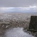
Whernside | 736 | 2415 |
 |
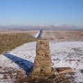
Ingleborough | 724 | 2375 |
 |
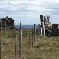
Great Whernside | 704 | 2310 |
 |
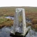
Buckden Pike | 702 | 2303 |
 |
Pen-y-ghent | 694 | 2277 |
 |
Great Coum | 687 | 2254 |
 |
Great Knoutberry Hill | 672 | 2205 |
 |
Fountains Fell | 668 | 2192 |
 |
Dodd Fell Hill | 668 | 2192 |
 |
Birks Fell | 610 | 2001 |
 |
Calf Top | 610 | 2000 |
 |
Aye Gill Pike | 556 | 1824 |
 |
Cracoe Fell | 508 | 1666 |
 |
Rombalds Moor | 402 | 1319 |
 |
Sharp Haw | 357 | 1171 |