Dumyat photos
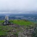
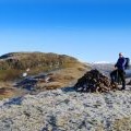
Dumyat Trig Point

and licensed for reuse under this Creative Commons Licence


Hover over the map markers to see associated photo. Note, some markers show photographer's position whilst others show photo subject location.
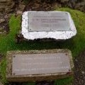
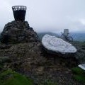
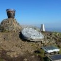
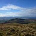
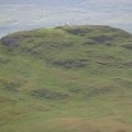
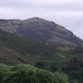
['Dumyat Trig Point',56.1575,-3.87607,'/public/geophotos/483062.jpg'],['Dumyat Memorial Plaques',56.1575,-3.87607,'/public/geophotos/483074.jpg'],['Dumyat cairn',56.1574,-3.87611,'/public/geophotos/483071.jpg'],['Summit of Dumyat',56.1573,-3.87611,'/public/geophotos/2931203.jpg'],['Dumyat from the north-east',56.1574,-3.87595,'/public/geophotos/1456373.jpg'],['Dumyat from Castle Law',56.1574,-3.87595,'/public/geophotos/1564077.jpg'],['Dumyat from Colsnaur Hill',56.1574,-3.87595,'/public/geophotos/2151202.jpg'],['Dumyat from the north east',56.1574,-3.87595,'/public/geophotos/2195081.jpg'],['Dumyat',56.1574,-3.87595,'/public/geophotos/2600516.jpg'],['Distant Dumyat',56.1572,-3.87594,'/public/geophotos/1488441.jpg']