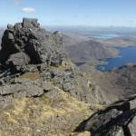
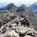
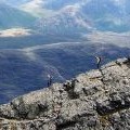
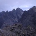
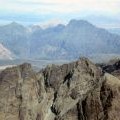
Sgurr Alasdair photos
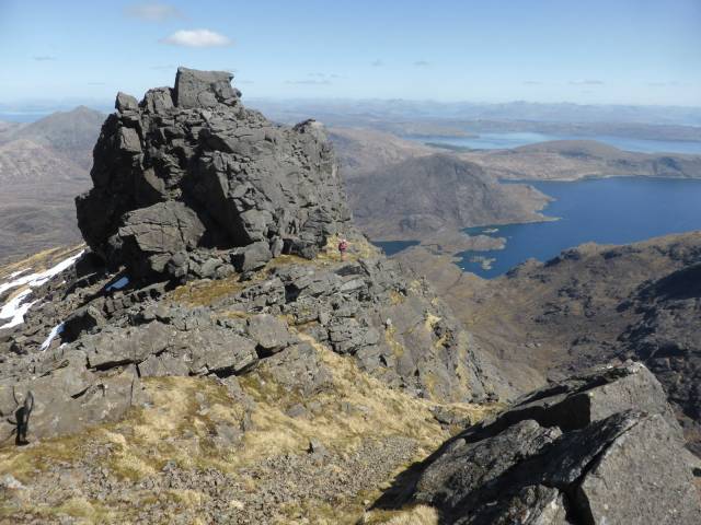
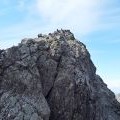
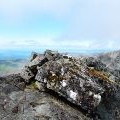
The summit block on Sgurr Dubh Mor
and licensed for reuse under this Creative Commons Licence

Hover over the map markers to see associated photo. Note, some markers show photographer's position whilst others show photo subject location.
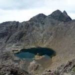
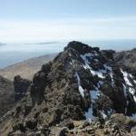
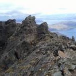
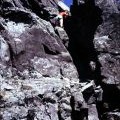
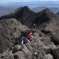
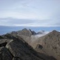
['The summit block on Sgurr Dubh Mor',57.2052,-6.21044,'/public/geophotos/4539399.jpg'],['On top of Skye',57.2063,-6.22383,'/public/geophotos/2444648.jpg'],['Descending Sgurr Thearlaich',57.2074,-6.22329,'/public/geophotos/2444676.jpg'],['Loch Coir\' a\' Ghrunnda',57.2016,-6.22014,'/public/geophotos/2980457.jpg'],['Sgurr Dubh an Da Bheinn',57.204,-6.21577,'/public/geophotos/4539415.jpg'],['Summit of Sgurr Dubh Mor - view across Loch Scavaig',57.2049,-6.21207,'/public/geophotos/6327333.jpg'],['Sgurr Alasdair',57.2066,-6.22419,'/public/geophotos/2444625.jpg'],['Summit cairn on Sgurr Alasdair',57.2066,-6.22419,'/public/geophotos/2444688.jpg'],['Sgurr Alasdair',57.2068,-6.22421,'/public/geophotos/67895.jpg'],['Sgurr Dubh an Da Bheinn and Sgurr Dubh Mhor',57.2064,-6.22317,'/public/geophotos/2749467.jpg'],['Sgurr Alasdair from Sgurr nan Eag',57.2071,-6.22325,'/public/geophotos/1562568.jpg'],['Sgurr Alasdair',57.2067,-6.22586,'/public/geophotos/1364049.jpg'],['Sgùrr Alasdair',57.206,-6.2228,'/public/geophotos/2519641.jpg'],['Sgurr Alasdair from Sgurr Mhic Choinnich',57.2066,-6.2222,'/public/geophotos/1356705.jpg']