Bannau Sir Gaer - Picws Du photos
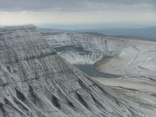
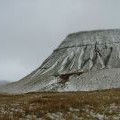
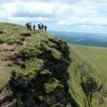
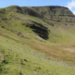
Banau Sir Gaer with Llyn y Fan Fach beyond
and licensed for reuse under this Creative Commons Licence


Hover over the map markers to see associated photo. Note, some markers show photographer's position whilst others show photo subject location.
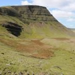
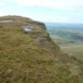
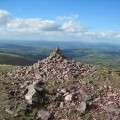
['Banau Sir Gaer with Llyn y Fan Fach beyond',51.882,-3.72884,'/public/geophotos/535668.jpg'],['Picws Du',51.8825,-3.72784,'/public/geophotos/2952111.jpg'],['Picws Du in the Carmarthen Fans',51.8821,-3.72739,'/public/geophotos/22002.jpg'],['Picws Du from Llyn y Fan Fach',51.8822,-3.72841,'/public/geophotos/535677.jpg'],['Picws Du',51.8831,-3.72496,'/public/geophotos/2949670.jpg'],['Ridge below Picws Du',51.8834,-3.72235,'/public/geophotos/2955358.jpg'],['Part of the summit cairn on Picws Du',51.8824,-3.72827,'/public/geophotos/2569467.jpg'],['Approaching the summit cairn on Picws Du',51.8822,-3.72812,'/public/geophotos/2569445.jpg'],['Cairn on Picws Du',51.882,-3.72768,'/public/geophotos/2107251.jpg'],['Picws Du',51.883,-3.72742,'/public/geophotos/148497.jpg'],['Picws Du',51.8818,-3.72781,'/public/geophotos/982150.jpg'],['Picws Du',51.8826,-3.72697,'/public/geophotos/939129.jpg'],['Picws Du',51.882,-3.72724,'/public/geophotos/693390.jpg'],['Picws Du',51.8824,-3.72537,'/public/geophotos/2955354.jpg']