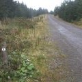
Moel y Hyrddod photos
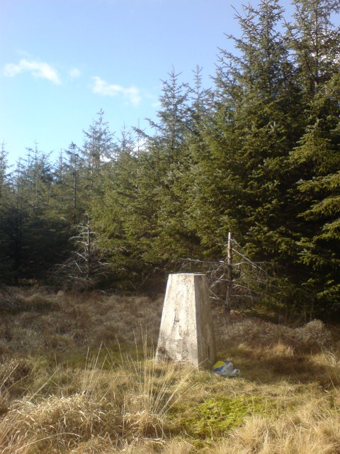
Trig point in the middle of a forest
and licensed for reuse under this Creative Commons Licence
Hover over the map markers to see associated photo. Note, some markers show photographer's position whilst others show photo subject location.
['Trig point in the middle of a forest',51.6905,-3.64963,'/public/geophotos/738265.jpg'],['Track junction',51.6913,-3.64965,'/public/geophotos/991841.jpg'],['The track joins Cycle Route 47',51.6913,-3.64922,'/public/geophotos/991538.jpg'],['Coed Morgannwg Way and waymark',51.6896,-3.65176,'/public/geophotos/991544.jpg']