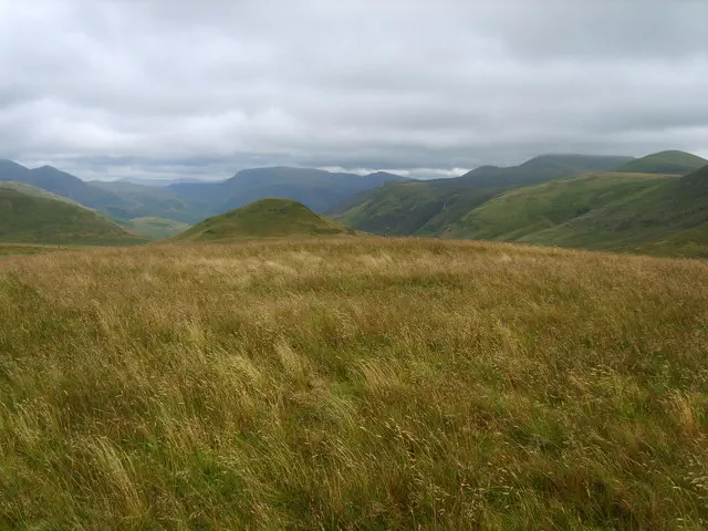
Banna Fell
Banna Fell is the 7161st highest peak in the British Isles and the 846th tallest in England
Also known as
Banna Fell East Top
Elevation
456.0 m (1496 ft)
Prominence
38.0 m (125 ft)
Survey method
Abney level
Features
No feature
Category
- Tump (400-499m)
- Birkett
- Synge
Hill / mountain range
Nearest town
OS map sheets
OS25: 004S (The English Lakes)OS50: 089 (West Cumbria, Cockermouth & Wast Water)
OS25: 303 (Whitehaven & Workington, Cockermouth & Egremont)
Notes & comments
Flat summit area