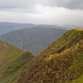
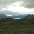
Marilyns in the Lake District E region
Map of Marilyns in the Lake District E region. Click on pins to view mountain details.
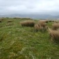
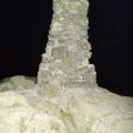
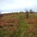
The mountain guide has mountains listed.....
| Image | Name | Height (metres) | Height (feet) |
|---|---|---|---|
 |
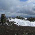
Helvellyn | 950 | 3117 |
 |
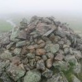
Fairfield | 873 | 2864 |
 |
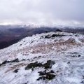
St Sunday Crag | 841 | 2759 |
 |
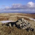
High Street | 828 | 2717 |
 |
Red Screes | 776 | 2546 |
 |
Stony Cove Pike | 763 | 2503 |
 |
Seat Sandal | 737 | 2417 |
 |
Tarn Crag (Sleddale) | 664 | 2178 |
 |
Place Fell | 657 | 2156 |
 |
Great Mell Fell | 537 | 1762 |
 |
Little Mell Fell | 505 | 1657 |
 |
Grayrigg Forest | 494 | 1621 |
 |
Hallin Fell | 388 | 1273 |
 |
High Rigg | 357 | 1171 |
 |
Lambrigg Fell | 340 | 1114 |
 |
Gummer's How | 321 | 1053 |
 |
Hutton Roof Crags | 275 | 902 |
 |
Whitbarrow - Lord's Seat | 215 | 705 |
 |
Arnside Knott | 159 | 522 |