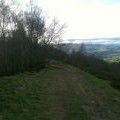
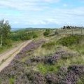
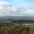
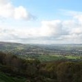
The Chevin photos
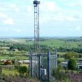
Leeds Bradford Airport Beacon

and licensed for reuse under this Creative Commons Licence


Hover over the map markers to see associated photo. Note, some markers show photographer's position whilst others show photo subject location.
['Leeds Bradford Airport Beacon',53.8929,-1.69777,'/public/geophotos/1279589.jpg'],['Hilltop path on the Chevin',53.894,-1.69807,'/public/geophotos/1021030.jpg'],['Bunker on Otley Chevin, Guiseley',53.8927,-1.69716,'/public/geophotos/2573020.jpg'],['Sloping rock in Yorkgate Quarry, Guiseley',53.8927,-1.69869,'/public/geophotos/2572628.jpg'],['Beacon for Leeds-Bradford Airport, Guiseley',53.8927,-1.69869,'/public/geophotos/2572644.jpg'],['Path junction in the Chevin Forest Park, Otley',53.8945,-1.69715,'/public/geophotos/2573042.jpg'],['Heading into the woods',53.8939,-1.69913,'/public/geophotos/2842188.jpg'],['The path from Yorkgate Quarry to Surprise View, Otley',53.8936,-1.69563,'/public/geophotos/2573055.jpg'],['North West from The Chevin',53.8941,-1.69959,'/public/geophotos/1021018.jpg'],['West from The Chevin',53.8939,-1.69989,'/public/geophotos/1021023.jpg']