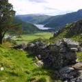
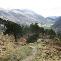
Wren Crag photos
From Wren Crag
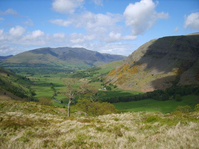
and licensed for reuse under this Creative Commons Licence
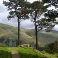
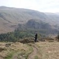
Hover over the map markers to see associated photo. Note, some markers show photographer's position whilst others show photo subject location.
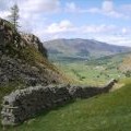
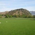
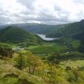
['From Wren Crag',54.5723,-3.05986,'/public/geophotos/1325472.jpg'],['Footpath on High Rigg',54.5722,-3.06048,'/public/geophotos/1673201.jpg'],['Footpath on High Rigg',54.5724,-3.06048,'/public/geophotos/1673204.jpg'],['Wall under Long Band',54.5721,-3.06094,'/public/geophotos/1325481.jpg'],['Wall under Long Band',54.5723,-3.06079,'/public/geophotos/1325478.jpg'],['Wren Crag',54.5705,-3.05951,'/public/geophotos/417220.jpg'],['On Wren Crag',54.5708,-3.0592,'/public/geophotos/1325461.jpg'],['View from Wren Crag',54.5706,-3.05905,'/public/geophotos/2310232.jpg'],['On Wren Crag',54.5711,-3.05828,'/public/geophotos/1325463.jpg'],['Above Wren Crag',54.5711,-3.05813,'/public/geophotos/1825365.jpg']