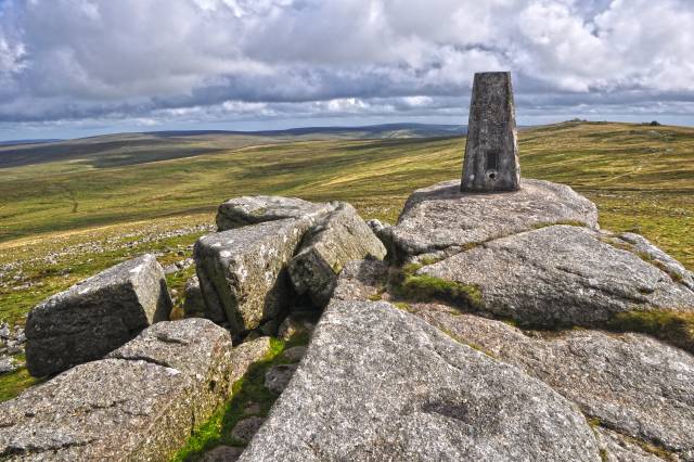
Yes Tor photos
West Devon
and licensed for reuse under this Creative Commons Licence


Hover over the map markers to see associated photo. Note, some markers show photographer's position whilst others show photo subject location.
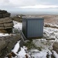
['West Devon',50.6936,-4.01057,'/public/geophotos/4131892.jpg'],['West Devon',50.6936,-4.01071,'/public/geophotos/4131937.jpg'],['West Devon',50.6935,-4.01071,'/public/geophotos/4131884.jpg'],['Yes Tor',50.6935,-4.01085,'/public/geophotos/5915432.jpg'],['Summit, of Yes Tor',50.6935,-4.01071,'/public/geophotos/1423987.jpg'],['Trig Point, on Yes Tor',50.6935,-4.01071,'/public/geophotos/1424653.jpg'],['The summit of Yes Tor',50.6935,-4.01071,'/public/geophotos/2998813.jpg'],['Northern slopes of Yes Tor',50.6935,-4.01042,'/public/geophotos/1423979.jpg'],['The summit of Yes Tor',50.6935,-4.01042,'/public/geophotos/2134604.jpg'],['Radio mast and trig point on Yes Tor',50.6935,-4.01085,'/public/geophotos/1624273.jpg'],['Yes Tor in the mist',50.6933,-4.01051,'/public/geophotos/1993731.jpg'],['Observation Post, Yes Tor',50.6937,-4.01086,'/public/geophotos/683766.jpg'],['Yes Tor',50.6938,-4.01086,'/public/geophotos/1575615.jpg'],['Yes Tor Trig Point',50.6932,-4.01069,'/public/geophotos/1326771.jpg']