An Cliseam photos
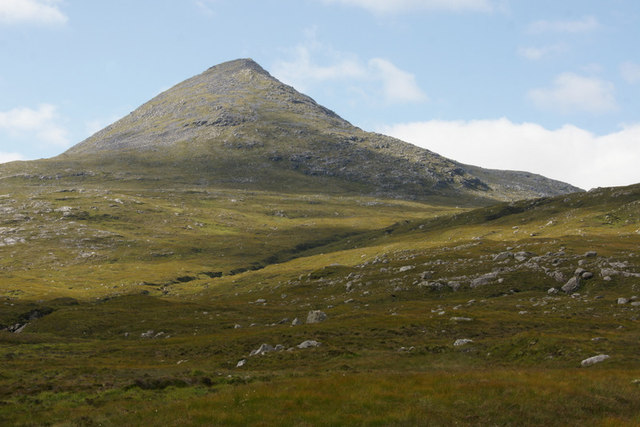
An Cliseam from the Abhainn Mharaig where it crosses the A859
and licensed for reuse under this Creative Commons Licence
Hover over the map markers to see associated photo. Note, some markers show photographer's position whilst others show photo subject location.
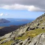
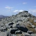
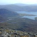
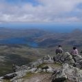
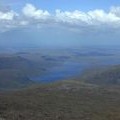
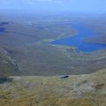
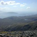
['An Cliseam from the Abhainn Mharaig where it crosses the A859',57.9636,-6.81243,'/public/geophotos/2563589.jpg'],['The trig point on Clisham, North Harris',57.9637,-6.81227,'/public/geophotos/263269.jpg'],['Summit ridge, An Cliseam',57.9646,-6.81358,'/public/geophotos/5143401.jpg'],['On the southeast ridge of An Cliseam',57.9622,-6.80834,'/public/geophotos/966902.jpg'],['The summit of An Cliseam (Clisham)',57.9636,-6.81293,'/public/geophotos/516808.jpg'],['View southwest from An Cliseam',57.9632,-6.81289,'/public/geophotos/1037257.jpg'],['Summit of Clisham looking SE',57.9635,-6.8119,'/public/geophotos/643125.jpg'],['View north from An Cliseam',57.9637,-6.81142,'/public/geophotos/1037255.jpg'],['View northeast from An Cliseam',57.9634,-6.81155,'/public/geophotos/1037253.jpg'],['View west southwest from An Cliseam',57.9636,-6.81429,'/public/geophotos/1037256.jpg']