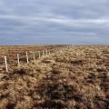
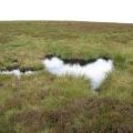
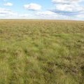
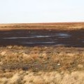
Dry Rigg photos
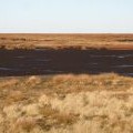
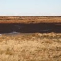
Panorama from the upper Rookhope lead smelting flue chimney (9: NNEb - Redburn Common)

and licensed for reuse under this Creative Commons Licence
Hover over the map markers to see associated photo. Note, some markers show photographer's position whilst others show photo subject location.
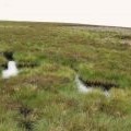
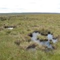
['Panorama from the upper Rookhope lead smelting flue chimney (9: NNEb - Redburn Common)',54.7976,-2.1468,'/public/geophotos/1646491.jpg'],['Dry Rigg',54.7976,-2.14726,'/public/geophotos/2753173.jpg'],['Dry Rigg (3)',54.7978,-2.14727,'/public/geophotos/1730713.jpg'],['Dry Rigg',54.7981,-2.14587,'/public/geophotos/516844.jpg'],['An interesting corner of Redburn Common',54.7976,-2.14804,'/public/geophotos/520516.jpg'],['Panorama from the upper Rookhope lead smelting flue chimney (8: NNE - Redburn Common)',54.797,-2.14555,'/public/geophotos/1646482.jpg'],['Dry Rigg (2)',54.7985,-2.14789,'/public/geophotos/516847.jpg'],['Panorama from the upper Rookhope lead smelting flue chimney (10: N - Redburn Common)',54.7967,-2.14866,'/public/geophotos/1646500.jpg']